Data visualizations can help take the pulse of our world. They provide new ways to understand what challenges we face and how we can adapt. Since 2012, the Igarapé Institute has designed and build several award-winning digital platforms focusing on small arms flows, homicidal violence, fragile cities and forecasting crime.
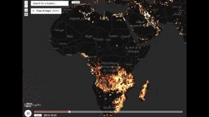
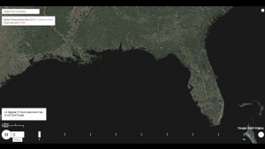
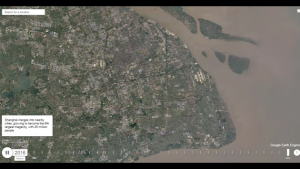
Starting in 2016, the Igarapé Institute joined forces with Carnegie Mellon University´s CREATE Lab to build a new platform to track urban fragility and other challenges. The EarthTime platform tracks climactic and human-induced risks – from refugee flows, terrorism and other risks – on a planetary scale over the past three decades.
Explore EarthTime
The Igarapé Institute highlighted findings from EarthTime at the 2017 Annual Meeting in Davos, TED2017 and the Forum on Global Cities. We have used the tool to highlight global threats and ways to surmount them. In the process, we´ve identified several lessons that can help shape the next generation of data-driven tools to convert awareness into action.
Learn more here.


